| HOME | ABOUT | RESEARCH | METEOROLOGY | PROJECTS | PORTFOLIO | LINKS |
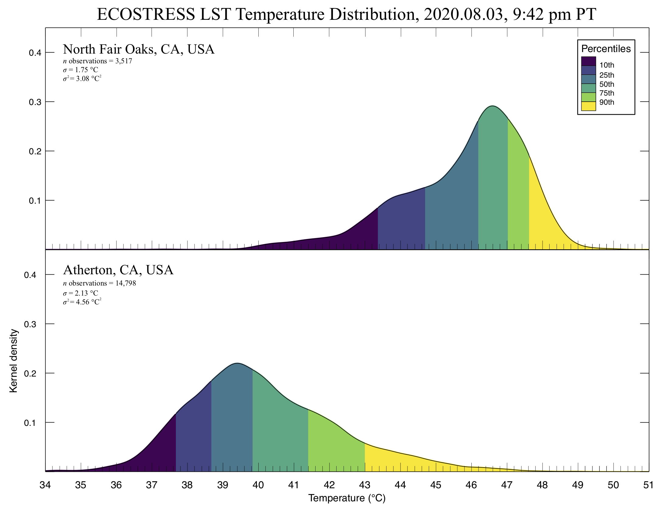
ECOSTRESS land surface temperature (LST) observationsSilicon Valley, CA, USA - 2020.08.03 (30 m resolution)
Los Angeles, CA, USA - 2020.08.14 (30 m resolution)
Central Valley, CA, USA - 2020.07.27 (70 m resolution)NB. The above web maps are an initial investigation into integrating ECOSTRESS and GIS datasetsto better understand the effects of urban heat islands, land cover, etc. The maps were built in QGIS with ESRI shapefiles and GeoTIFFs - they do not utilize vector or raster tiles currently, and are served from Google cloud storage. The larger maps may take time to load. For better responsiveness, turn off vector layers (parcels, land cover, etc.) while zooming & panning. EventsPresentationsLiterature |
|
|
|
|
|